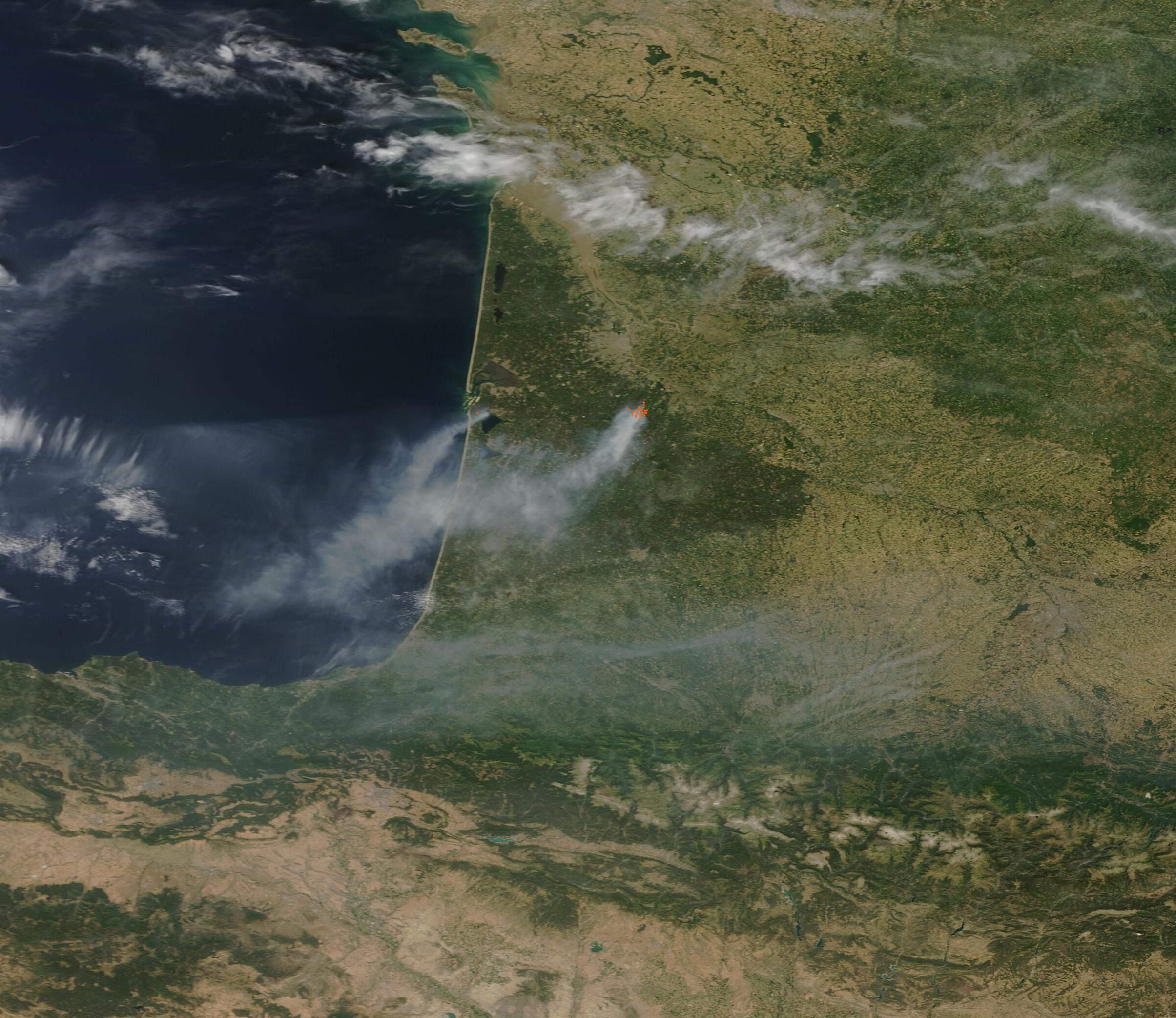
A massive wildfire in southwest France killed three firefighters and forced the evacuation of approximately 333,000 people in early July [1].
The scale of the disaster highlights the increasing volatility of European summers as extreme heat waves and dry conditions create a tinderbox effect. These conditions, linked to climate change, allowed the blaze to grow rapidly and threaten densely populated areas [1].
The fire occurred near the town of La Fare, where the blaze eventually reached a size four times that of Paris [1]. Emergency crews struggled to contain the perimeter as the fire swept through the region, necessitating the mass movement of a third of a million residents [1].
Amid the crisis, a smartphone photo captured by AFP photo editor Maximilien Lamy went viral, documenting the intensity of the flames and the desperation of the firefighting efforts. The image, taken on July 2, 2026 [2], provided a stark visual record of the devastation in the region.
French firefighters worked under grueling conditions to prevent the fire from spreading further into residential zones. The loss of three personnel underscores the high risk associated with battling mega-fires in these newly arid conditions [1].
Local authorities attributed the severity of the event to a combination of a prolonged heat wave and an exceptionally dry spring. This environmental baseline made the vegetation highly flammable—a trend that officials say is becoming more common across Southern Europe [1].
“The blaze eventually reached a size four times that of Paris.”
This event demonstrates a shift in the wildfire profile of Southwest France, where the scale of evacuations and the size of the burn area suggest that traditional firefighting infrastructure may be overwhelmed by climate-driven 'mega-fires.' The intersection of extreme heat and urban proximity increases the risk of high casualty rates and mass displacement.


