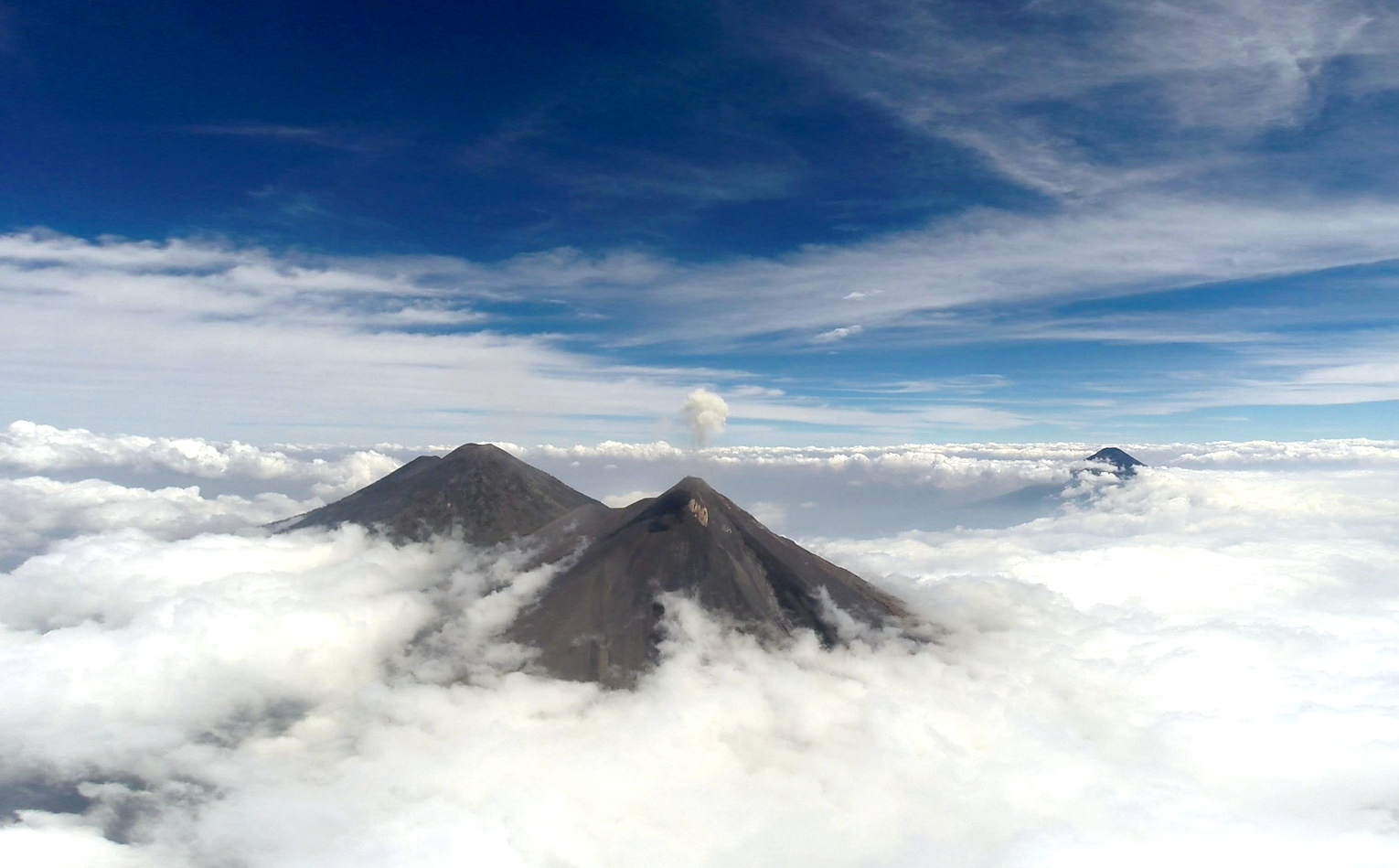
Guatemalan authorities issued a "danger" alert on Monday, Aug. 3, 2026, after Volcán Fuego erupted with lava, gas, and ash [1], [2].
The eruption poses a direct threat to residential areas near the peak, necessitating rapid government intervention to prevent casualties in one of Central America's most active volcanic zones [3].
Volcán Fuego is located approximately 35 km southwest of Guatemala City [2], [3]. The sudden increase in activity forced the government to implement emergency protocols to protect the local population from hazardous emissions and lava flows [1], [2].
As part of the emergency response, officials began moving residents out of the immediate vicinity. Reports on the scale of the displacement vary; some sources said two hamlets were evacuated [4], while others said several hamlets were cleared [5].
The current alert level is classified as "danger," which is the stage immediately preceding a red emergency alert [2]. This classification signals a high probability of continued volcanic activity and potential escalation.
Authorities continue to monitor the volcano's output. The combination of ash and gas can create severe respiratory hazards and disrupt visibility for transport and aviation in the region [1], [2].
“The current alert level is classified as "danger," which is the stage immediately preceding a red emergency alert.”
The issuance of a 'danger' alert indicates that the Guatemalan government views the current eruption as a significant threat to life and property. Because Volcán Fuego is situated close to a major urban center and is known for its volatility, the transition from a 'danger' alert to a 'red' emergency alert could trigger larger-scale evacuations and significant economic disruption in the southwest corridor of Guatemala City.


